Click on thumbnail to see close up of the original town plan.
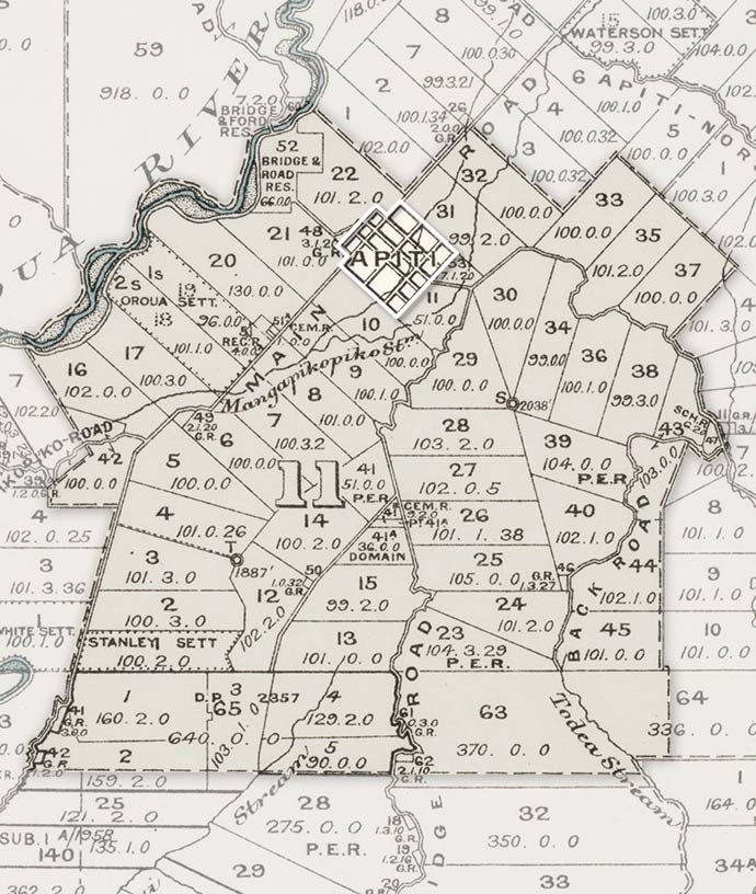
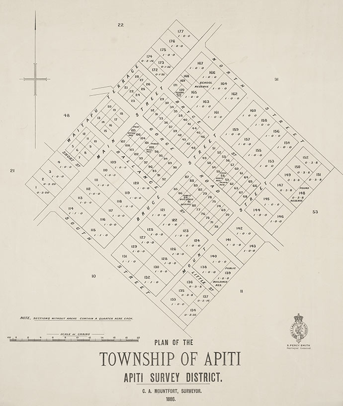
The map of the Āpiti district, Manawatū (a detail of a larger map), shows the original blocks of land which were balloted by a Small Farms Association in 1886. The association had been set up in Feilding the previous year to obtain a large area of land from the central government. Blocks were then surveyed and balloted. The original survey included the plan of a central township, and town sections were also balloted.
Te whakamahi i tēnei tūemi
Reference: MapColl 830 bje/1914-/Acc.2366; MapColl 832.43bje/1886/Acc.266
Permission of the Alexander Turnbull Library, National Library of New Zealand, Te Puna Mātauranga o Aotearoa, must be obtained before any re-use of this image.