-
Landforms
-
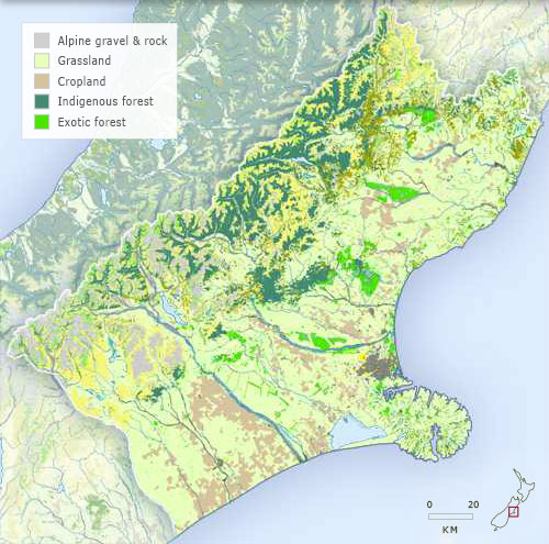
Vegetation
-
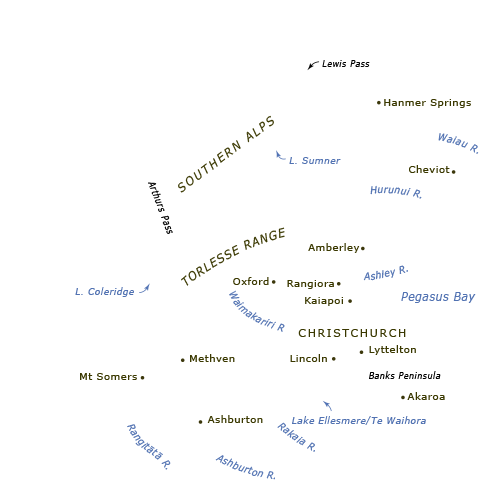
Place names
-
Districts

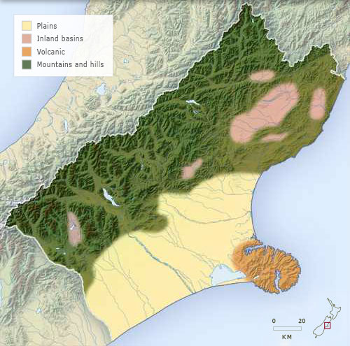
This map shows the four main landforms of Canterbury:
the volcanic rocks of Banks Peninsula
the Canterbury Plains
the rolling hill country
the Southern Alps.
With the largest expanse of plains and some of the most rugged mountains in the country, Canterbury is a region of extreme contrasts.
Te whakamahi i tēnei tūemi
Te Ara – The Encyclopedia of New Zealand
This item has been provided for private study purposes (such as school projects, family and local history research) and any published reproduction (print or electronic) may infringe copyright law. It is the responsibility of the user of any material to obtain clearance from the copyright holder.