Image
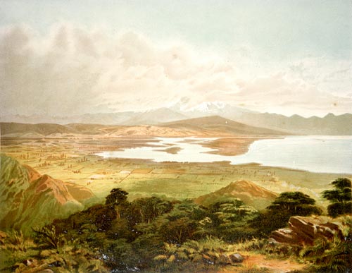
In 1875 John Gully painted this view of the Waimea Plains and its cultivated land, seen from the Barnicoat Range. Lack of flat land that could be cultivated was one of the major factors that limited Nelson’s early development. Behind Waimea Inlet are the low-lying Moutere Hills. Beyond them is the higher, snow-covered Arthur Range.
Te whakamahi i tēnei tūemi
Reference: PUBL-0010-08
by John Gully
Permission of the Alexander Turnbull Library, National Library of New Zealand, Te Puna Mātauranga o Aotearoa, must be obtained before any re-use of this image.