Image
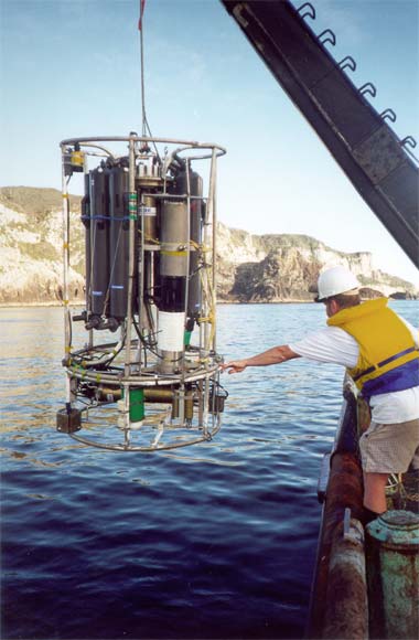
In this photograph a conductivity temperature depth profiler is being lowered over the side of a research vessel off the Poor Knights Islands in northern New Zealand. The device is used to collect water samples at selected depths, and measure a range of ocean properties such as temperature.
Using this item
NIWA – National Institute of Water and Atmospheric Research
by Craig Stevens
This item has been provided for private study purposes (such as school projects, family and local history research) and any published reproduction (print or electronic) may infringe copyright law. It is the responsibility of the user of any material to obtain clearance from the copyright holder.