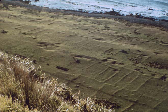
This is a horticultural site at Ōkoropunga on the south Wairarapa coast. The depressions indicate borrow pits, holes where gravel was dug up to be added to soil, adapting it for growing kūmara. The rows that can be seen are made from rocks and stones cleared from the field, and probably indicate boundaries.
Using this item
New Zealand Society of Soil Science
Reference: Les Molloy, Soils in the New Zealand landscape: the living mantle. Wellington: Mallinson Rendel, 1988, plate 15.2
by Quentin Christie
This item has been provided for private study purposes (such as school projects, family and local history research) and any published reproduction (print or electronic) may infringe copyright law. It is the responsibility of the user of any material to obtain clearance from the copyright holder.