-
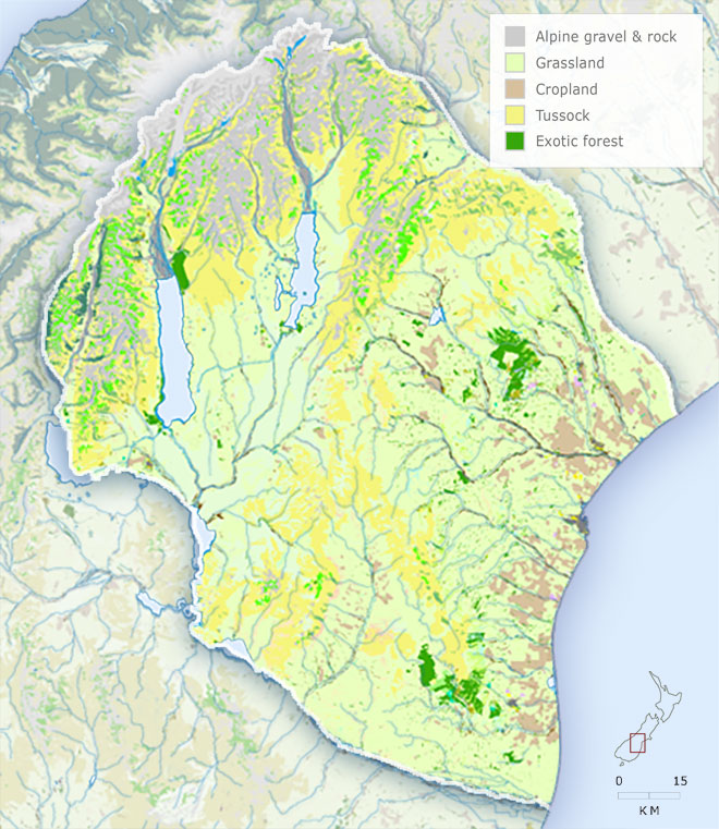
Vegetation
-
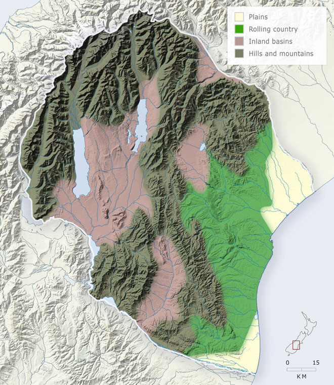
Landforms
-
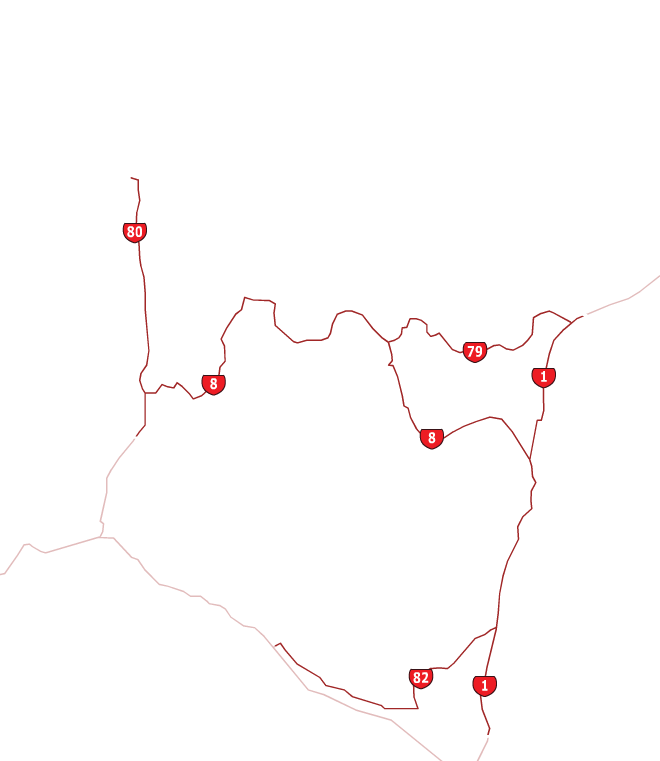
Highways
-
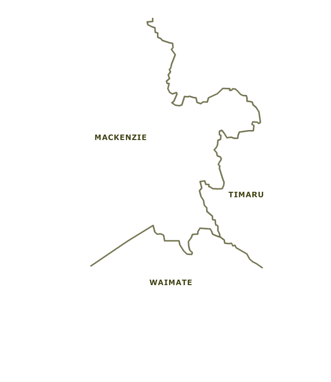
Districts
-
Place names

The map shows the four main landforms of South Canterbury: the plains of the Rangitātā and Waitaki rivers; the coastal rolling country, or downlands; the inland basins of the Mackenzie Country and the Ōpuha and Hakataramea rivers; the hills and mountains of the inland ranges and Southern Alps.
Using this item
Te Ara - The Encyclopedia of New Zealand
This item has been provided for private study purposes (such as school projects, family and local history research) and any published reproduction (print or electronic) may infringe copyright law. It is the responsibility of the user of any material to obtain clearance from the copyright holder.