Image
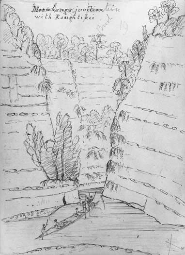
This sketch of sandstone cliffs in the Rangitīkei River (at the junction of the Moawhanga River) was made by J. C. Crawford during an exploring trip in January 1862. The bedded rock is now known as the Tahere Formation: massive brown micaceous sandstone containing layers of concretions. These were deposited in shallow water about 3.2 million years ago.
Using this item
Reference: E-041-021
by James Coutts Crawford
Permission of the Alexander Turnbull Library, National Library of New Zealand, Te Puna Mātauranga o Aotearoa, must be obtained before any re-use of this image.