Image
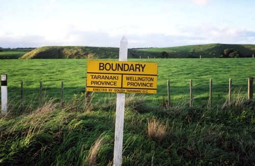
The traditional boundary between Whanganui and Taranaki was the former provincial boundary, which crossed State Highway 3 between Waverley and Pātea. However, since 1989 Waverley and neighbouring areas have been within South Taranaki district.
Using this item
Private collection
by Diana Beaglehole
This item has been provided for private study purposes (such as school projects, family and local history research) and any published reproduction (print or electronic) may infringe copyright law. It is the responsibility of the user of any material to obtain clearance from the copyright holder.