Image
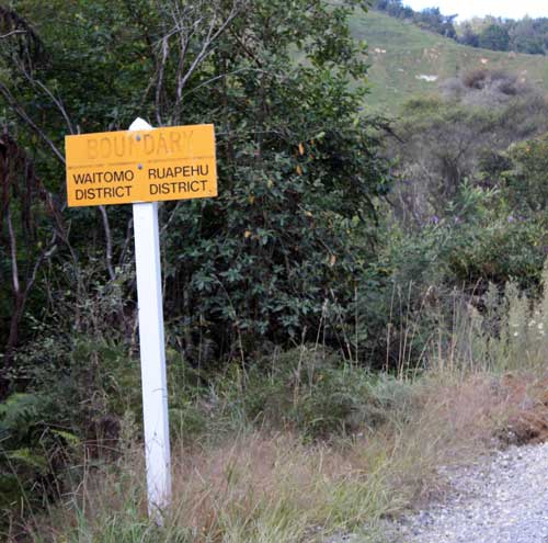
Since 1989 the King Country has encompassed the Ōtorohanga and Waitomo districts and most of Ruapehu district (the part which made up most of the pre-1989 Taumarunui district). This boundary sign is on Matiere Road.
Using this item
Te Ara - The Encyclopedia of New Zealand
by Kerryn Pollock
This item has been provided for private study purposes (such as school projects, family and local history research) and any published reproduction (print or electronic) may infringe copyright law. It is the responsibility of the user of any material to obtain clearance from the copyright holder.