Image
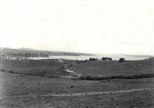
In the course of its rapid growth through the 20th century, Auckland has swallowed up farmland and countryside. It is now, in area, one of the largest cities on earth. The suburb of St Heliers, relatively close to the city centre, was still open farmland in 1920.
Using this item
Auckland Council Libraries − Tāmaki Pātaka Kōrero o Tāmaki Makaurau, Sir George Grey Special Collections
Reference: 1-W1699
by Henry Winkelmann
Permission of Auckland City Libraries Tāmaki Pātaka Kōrero must be obtained before any re-use of this image.