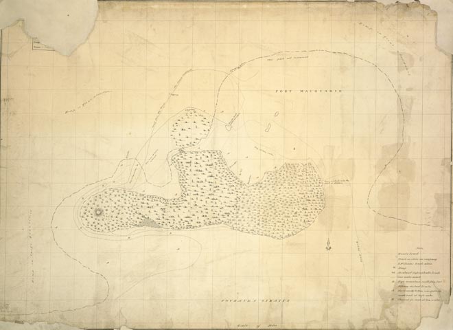
At the extreme south of the country, Cook was unsure whether South Cape was joined to the mainland or was an island. An American sealer, Owen Smith, discovered Foveaux Strait in 1804 and presented his map of the strait to the governor of New South Wales in 1806. A number of other explorers during the early 19th century mapped parts of southern New Zealand. This map of Port Macquarie (Bluff Harbour) was drawn in 1813 by Robert Williams. He, like others, was exploring the southern coast for resources such as seals, timber and, in this case, flax.
Using this item
Reference: MapColl-835at/[1813]/Acc425
Permission of the Alexander Turnbull Library, National Library of New Zealand, Te Puna Mātauranga o Aotearoa, must be obtained before any re-use of this image.