-
1886
-
1911
-
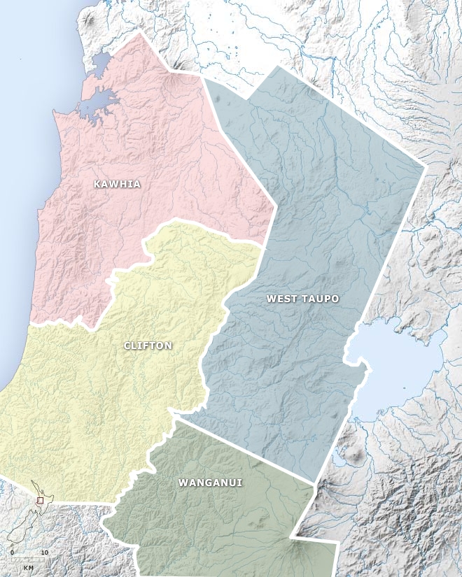
1926
-
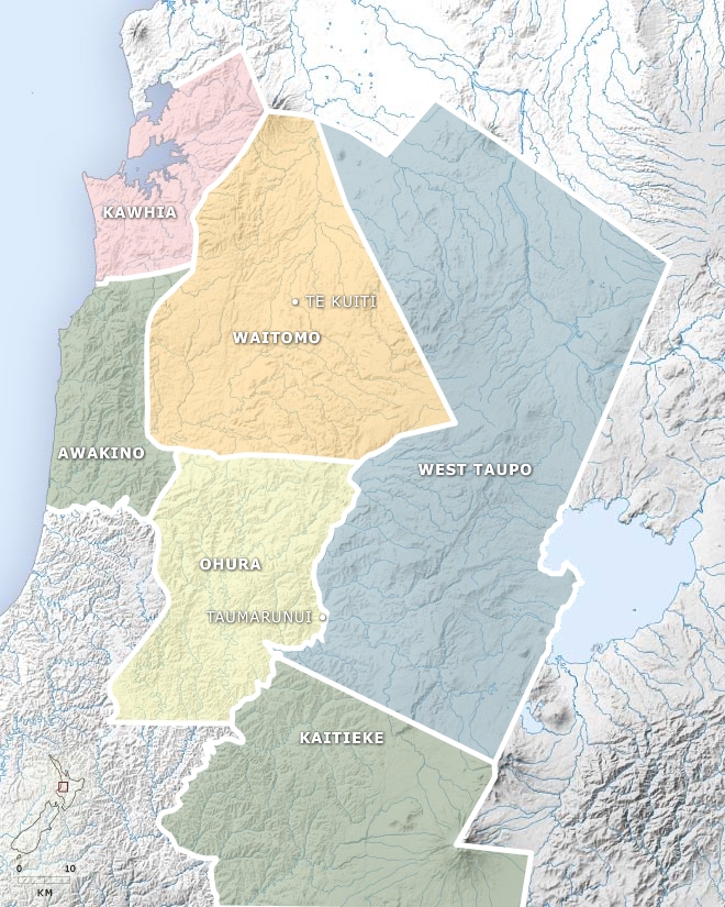
1956
-
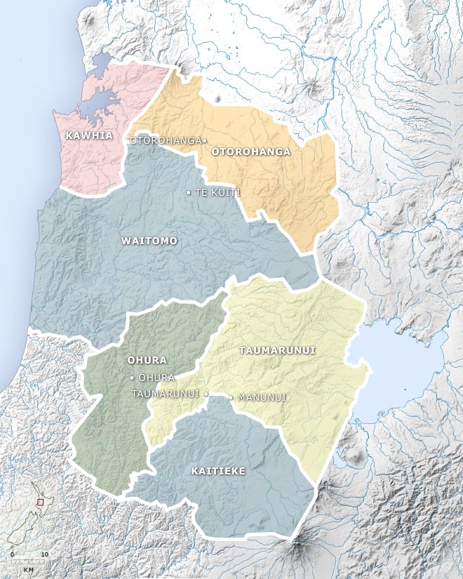
1989
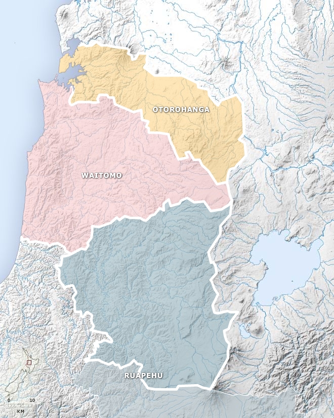
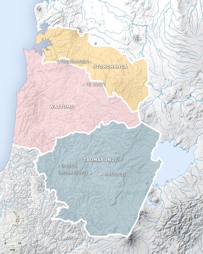
This layered map shows the changes in local government in the King Country over time. Click on the years to see the creation of new counties, boroughs and town districts (the last two represented by dots), and their later amalgamation.
Using this item
Te Ara - The Encyclopedia of New Zealand
This item has been provided for private study purposes (such as school projects, family and local history research) and any published reproduction (print or electronic) may infringe copyright law. It is the responsibility of the user of any material to obtain clearance from the copyright holder.