-
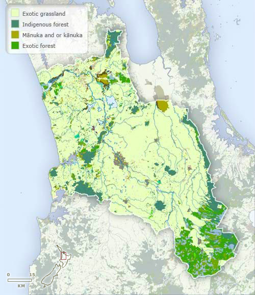
Vegetation
-
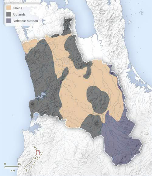
Landforms
-
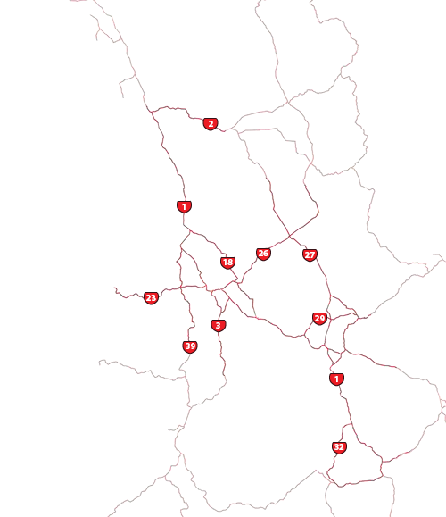
Highways
-
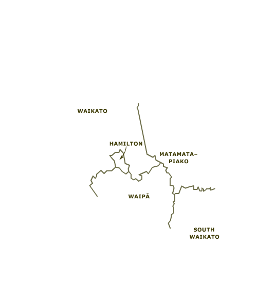
Districts
-
Place names
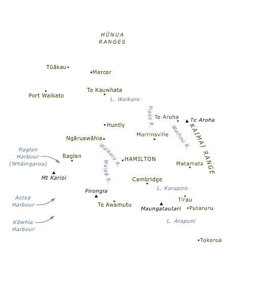
The Waikato region occupies the largest and most fertile lowland in the North Island. Its hub and only city, Hamilton, lies at the centre of the region, astride the Waikato River. The Kaimai Range flanks the region on the east, and there is hill country along the west coast. To the north Waikato merges into the outskirts of Auckland. To the north-east are the Hauraki Plains, just outside the region but with a similar landscape and ecology. To the south-east the region extends to the Volcanic Plateau in the vicinity of Tokoroa, and to the south it abuts the hillier King Country.
Using this item
Te Ara - The Encyclopedia of New Zealand
This item has been provided for private study purposes (such as school projects, family and local history research) and any published reproduction (print or electronic) may infringe copyright law. It is the responsibility of the user of any material to obtain clearance from the copyright holder.