
")
")
")
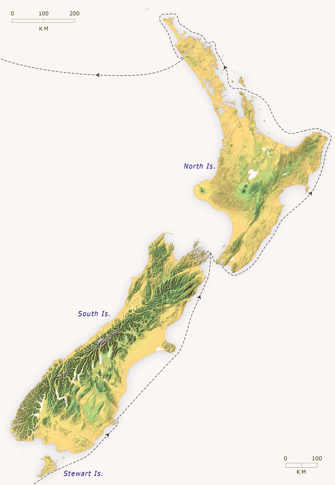
This map shows the likely track of the Rosanna and the Lambton in 1826. While looking for a place for the first New Zealand Company settlers to live, Captain James Herd produced the first charts of Otago Harbour (Port Oxley), and Wellington Harbour (Port Nicholson). Herd also charted Port Pegasus (Southern Port) at Stewart Island, and the Hokianga, surveyed in 1822. Click on the names to see his charts.
Using this item
Te Ara - The Encyclopedia of New Zealand
This item has been provided for private study purposes (such as school projects, family and local history research) and any published reproduction (print or electronic) may infringe copyright law. It is the responsibility of the user of any material to obtain clearance from the copyright holder.