-
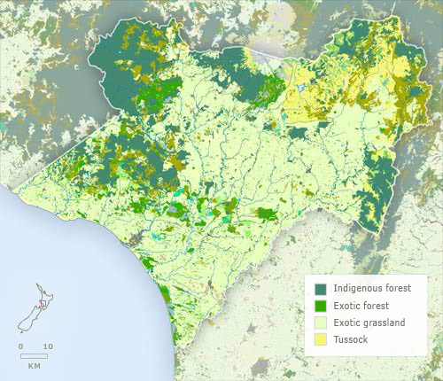
Vegetation
-
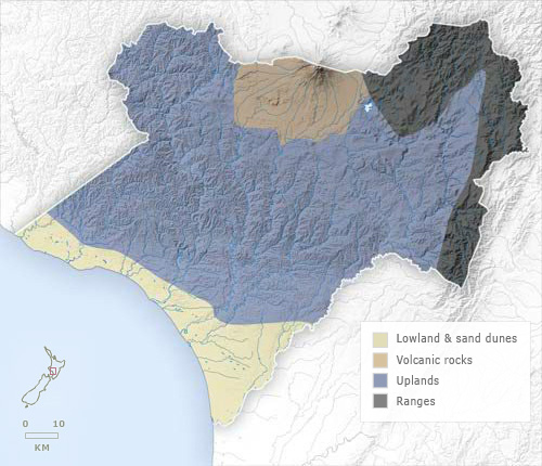
Landforms
-
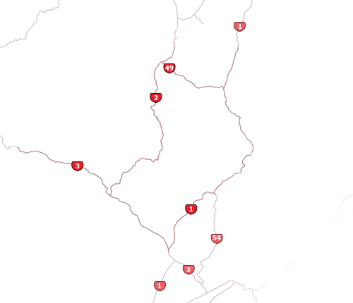
Highways
-
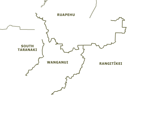
Districts
-
Place names
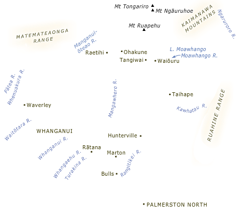
There are four main landform zones in the Whanganui region: a large area of hill country covering about two-thirds of the region; to the north, the Waimarino plain and nearby volcanic areas around Mt Ruapehu; part of the North Island main range in the north-east; and a strip of coastal lowland.
Using this item
Te Ara - The Encyclopedia of New Zealand
This item has been provided for private study purposes (such as school projects, family and local history research) and any published reproduction (print or electronic) may infringe copyright law. It is the responsibility of the user of any material to obtain clearance from the copyright holder.