Image
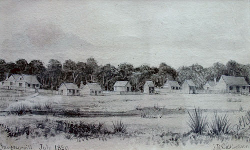
J. R. Cuthbertson made this sketch of Invercargill three years after the settlement was founded. Buildings line the bank of the Ōtepuni (Ōtarewa) Creek, with the once extensive Taurakitewaru forest behind.
Using this item
Southland Museum and Art Gallery
Reference: O78.332
by John Robert Cuthbertson
This item has been provided for private study purposes (such as school projects, family and local history research) and any published reproduction (print or electronic) may infringe copyright law. It is the responsibility of the user of any material to obtain clearance from the copyright holder.