Image
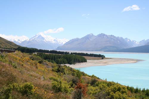
Lake Pūkaki, with Aoraki/Mt Cook in the left background. The lake is part of the Waitaki hydroelectricity system, and rises and falls according to demand for water, snow melt and rainfall.
Using this item
Te Ara - The Encyclopedia of New Zealand
by Jock Phillips
This item has been provided for private study purposes (such as school projects, family and local history research) and any published reproduction (print or electronic) may infringe copyright law. It is the responsibility of the user of any material to obtain clearance from the copyright holder.