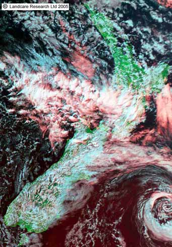
Weather satellites have revolutionised the collection of weather data. About 20 satellites, operated by six countries, produce visible and infrared images such as this. Infrared images show heat radiation emitted by clouds, land and sea surfaces. They are also available at night. Most of these images are provided by geostationary satellites. Orbiting 35,789 kilometres above the equator, they move at the same speed as the earth rotates, keeping them above the same spot on earth.
Using this item
Landcare Research – Manaaki Whenua
© Copyright image. All rights reserved. Permission from Manaaki Whenua: Landcare Research New Zealand Limited must be obtained before the re-use of this image.