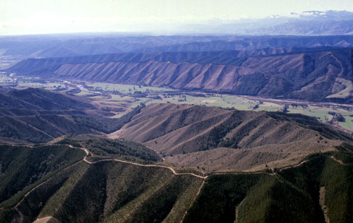
The Upper Moutere and Mapua districts in the Nelson region are covered by ancient, brown, clay-bound gravels. The uniformity of the topographic pattern indicates the widespread regularity of the gravel and the long period over which this landscape has developed.
Using this item
New Zealand Society of Soil Science
Reference: Les Molloy, Soils in the New Zealand landscape: the living mantle. Wellington: Mallinson Rendel, 1988, plate 8.10
by Quentin Christie
This item has been provided for private study purposes (such as school projects, family and local history research) and any published reproduction (print or electronic) may infringe copyright law. It is the responsibility of the user of any material to obtain clearance from the copyright holder.