-
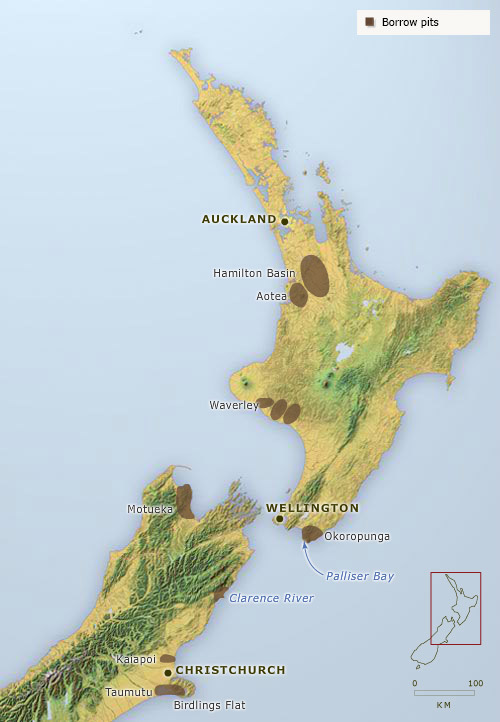
Borrow pits
-
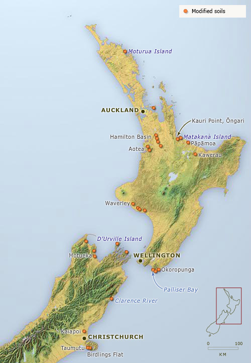
Modified soils
-
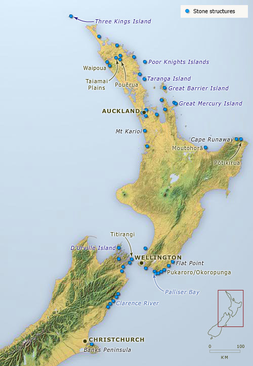
Stone structures
-
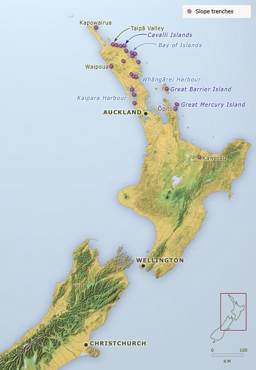
Slope trenches
-
Wetland ditches
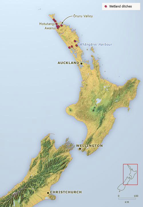
This map shows the distribution of key aspects of Māori agriculture – modified soils, borrow pits, stone formations (rows, mounds, heaps and alignments), slope trenches and wetland trenches. Māori modified soils for improved warmth and drainage by adding gravel or sand – borrow pits are the hollows from which the gravel was taken. Stone formations are found where the land was cleared of stones for gardening, or where stones were lined up to mark garden boundaries. Crops may have been grown in some of the rows.
Using this item
Te Ara - The Encyclopedia of New Zealand
This item has been provided for private study purposes (such as school projects, family and local history research) and any published reproduction (print or electronic) may infringe copyright law. It is the responsibility of the user of any material to obtain clearance from the copyright holder.