Image
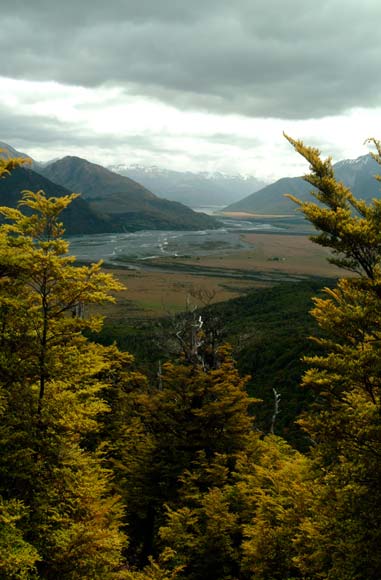
This is a view from the Binser Saddle of the braided Waimakariri River. Winding eastward from its source in the Southern Alps, it is the largest river in Arthur’s Pass National Park. The pass, at the heart of the park, cuts through the mountains, connecting Canterbury with the West Coast.
Using this item
Natural Sciences Image Library of New Zealand
Reference: DSCI0070Smd.jpg
by Peter E. Smith
This item has been provided for private study purposes (such as school projects, family and local history research) and any published reproduction (print or electronic) may infringe copyright law. It is the responsibility of the user of any material to obtain clearance from the copyright holder.