Image
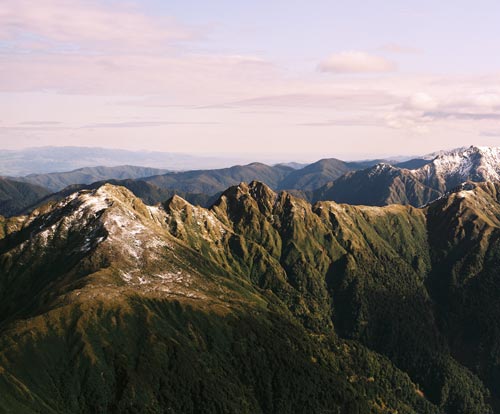
The metaphorical union between people and the land, Papatūānuku, is seen in places named after parts of the human body. The Tararua Range was declared to be Te Tuarātapu-o-Te Rangihaeata (the sacred back of Te Rangihaeata) to commemorate a peace arrangement between Ngāti Toa and Ngāti Kahungunu. The range became a dividing line between Ngāti Toa on the west side and Ngāti Kahungunu on the east. This view looks along the ridge between Aokaparangi and Mt Hector.
Using this item
Reference: CN28727/3
Permission of GNS Science must be obtained before any use of this image.
Comments
12 April 2024