Image
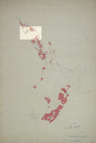
Ten years later, as this map prepared for the centennial historical atlas shows, Māori still held substantial areas of land. Purchases (indicated in red) had occurred around Whangārei, and Europeans had also expanded their holdings in the Bay of Islands.
Using this item
Reference: MapColl-CHA-6/2/3-Acc.38312
Permission of the Alexander Turnbull Library, National Library of New Zealand, Te Puna Mātauranga o Aotearoa, must be obtained before any re-use of this image.