-
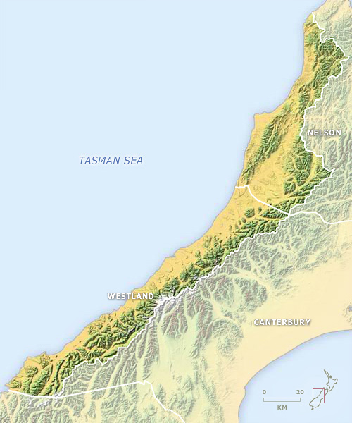
Provinces, to 1876
-
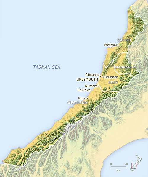
Counties and towns, 1876–1989
-
Districts, 1989–present
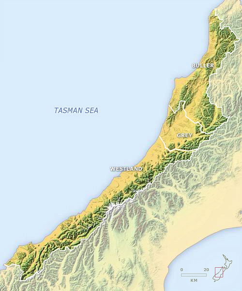
The West Coast was initially part of two provinces: Nelson and Westland, the latter having completely separated from Canterbury in 1873. From 1876 the region was divided into four counties and a number of boroughs (towns). Three of the boroughs – Brunner, Kumara and Ross – had been disestablished by 1989. In that year three districts (Westland, Grey and Buller), combining towns and counties, were formed.
Using this item
Te Ara - The Encyclopedia of New Zealand
This item has been provided for private study purposes (such as school projects, family and local history research) and any published reproduction (print or electronic) may infringe copyright law. It is the responsibility of the user of any material to obtain clearance from the copyright holder.
Comments
20 July 2010
20 July 2010