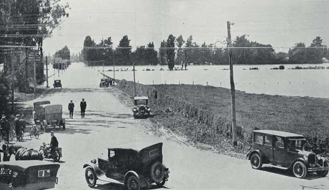
The Waimakariri poses a long-term threat to the city of Christchurch. In the 19th and early 20th centuries it regularly broke out of its channel when in flood, but protection works were put in place to constrain it. Significant damage to the flood control stopbanks of the Waimakariri and Kaiapoi Rivers occurred during the 2010 and 2011 Canterbury earthquakes to the north of Christchurch, near where the rivers enter the sea.
Using this item
Reference: CCL PhotoCD 14 IMG0090
This item has been provided for private study purposes (such as school projects, family and local history research) and any published reproduction (print or electronic) may infringe copyright law. It is the responsibility of the user of any material to obtain clearance from the copyright holder.