Image
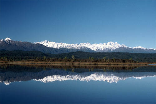
According to tradition the Southern Alps, reflected here in the Ōkārito Lagoon, were formed when the Ārai-te-uru canoe arrived from Hawaiki. As it travelled down the coast of the South Island, more than 150 passengers leapt ashore and became mountains. In one version of the story, Aoraki (Mt Cook) was a small boy carried on a relative’s shoulders, which is why that mountain is taller than all the others.
Using this item
Reference: 10054005
by Philippe Gerbeaux
This item has been provided for private study purposes (such as school projects, family and local history research) and any published reproduction (print or electronic) may infringe copyright law. It is the responsibility of the user of any material to obtain clearance from the copyright holder.