Image
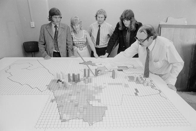
Town planners from the Wellington City Council stand around a map of the city in 1973. The different coloured squares represent different land-use zones and the wooden objects represent buildings, from factories to skyscrapers.
Using this item
Alexander Turnbull Library, Dominion Post Collection (PA-Group-00685)
Reference: EP/1973/0649/8
Permission of the Alexander Turnbull Library, National Library of New Zealand, Te Puna Mātauranga o Aotearoa, must be obtained before any re-use of this image.