Image
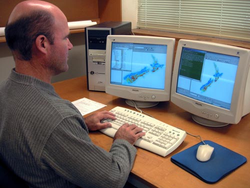
Soil information is stored in computerised databases and used to produce a variety of soil maps. It is a far cry from the days when maps could only be done in pen and ink.
Using this item
by Chris McKinnon
This item has been provided for private study purposes (such as school projects, family and local history research) and any published reproduction (print or electronic) may infringe copyright law. It is the responsibility of the user of any material to obtain clearance from the copyright holder.