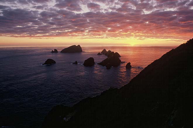
The Three Kings Islands are one of only two places in New Zealand which retain the (translated) name given by the Dutch explorer Abel Tasman (the other is Cape Maria van Diemen). They are about 50 kilometres north-west of Cape Rēinga, and form a continuation of the Northland peninsula. This view is of Princes Rocks and West Island, from South West Island. West Island was where the Elingamite struck in thick fog in November 1902, with the loss of 45 lives. An inquiry showed that the islands had been incorrectly charted.
Using this item
Department of Conservation
Reference:
10047733
Photograph by A. Booth
This item has been provided for private study purposes (such as school projects, family and local history research) and any published reproduction (print or electronic) may infringe copyright law. It is the responsibility of the user of any material to obtain clearance from the copyright holder.


Add new comment