Story: Modern mapping and surveying
Page 8. All images & media
From page 1 - Government surveying and mapping, 1870–1900
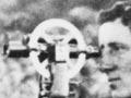


From page 2 - Geodetic triangulation


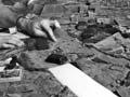
From page 3 - Aerial photography and maps


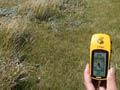
From page 4 - Mapping and surveying, 1950–1980


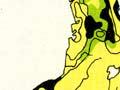
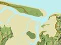
From page 5 - A variety of maps


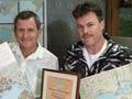
From page 6 - Later developments


How to cite this page
Melanie Lovell-Smith, Modern mapping and surveying, Te Ara – the Encyclopedia of New Zealand, https://teara.govt.nz/en/story/2114/media (accessed 21 July 2026).
Story by Melanie Lovell-Smith, published 1 March 2009, updated 1 August 2018.