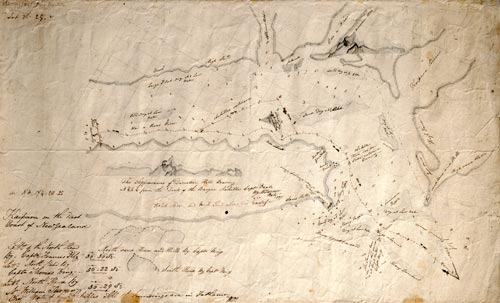
One of these charts was hand-drawn and prepared by William Turner, chief mate on the barque Archilles, when he entered Kaipara Harbour in 1837. The chart shows the route of the Archilles and the depths are in fathoms.
Using this item
Alexander Turnbull Library
Reference:
MapColl-832.11aj/1837/Acc.24214
Permission of the Alexander Turnbull Library, National Library of New Zealand, Te Puna Mātauranga o Aotearoa, must be obtained before any re-use of this image.


Add new comment