-
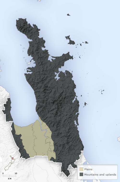
Landforms
-
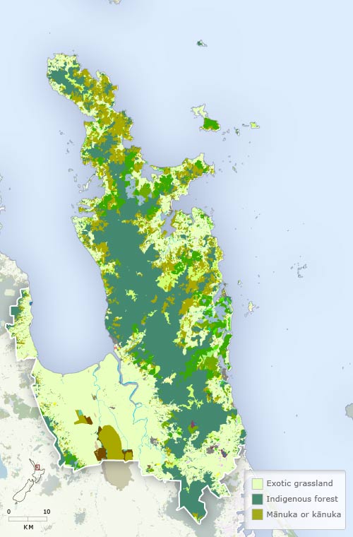
Vegetation
-
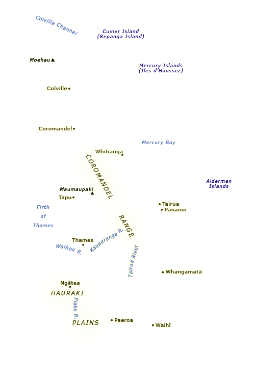
Place names
-
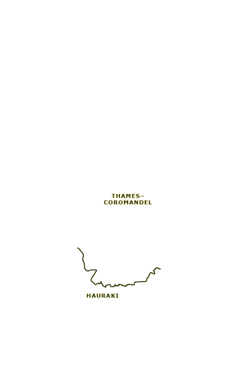
Districts
-
Highways
Faults, in particular the Hauraki Fault which runs along the west side of the Coromandel Peninsula, have shaped the Hauraki–Coromandel region. The Hauraki Fault has produced both a depression (the Hauraki Plains and the Firth of Thames) and uplifted areas (the Coromandel Peninsula and the ranges to the west of the Hauraki depression). Rocks from volcanic activity between seven and 20 million years ago have overlain the older sedimentary greywacke on the peninsula, while river sediments have built up the Hauraki Plains.
Using this item
Te Ara - The Encyclopedia of New Zealand
This item has been provided for private study purposes (such as school projects, family and local history research) and any published reproduction (print or electronic) may infringe copyright law. It is the responsibility of the user of any material to obtain clearance from the copyright holder.