-
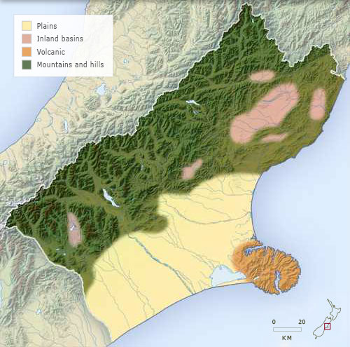
Landforms
-
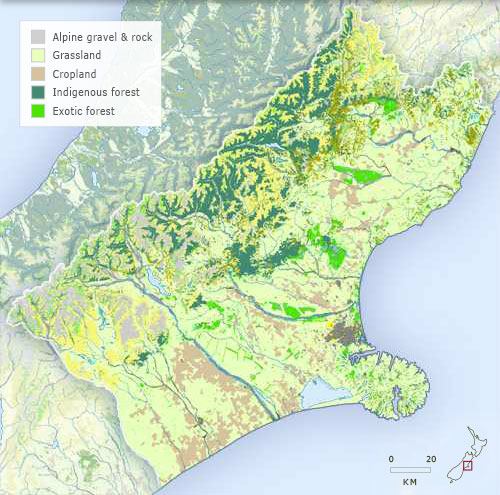
Vegetation
-
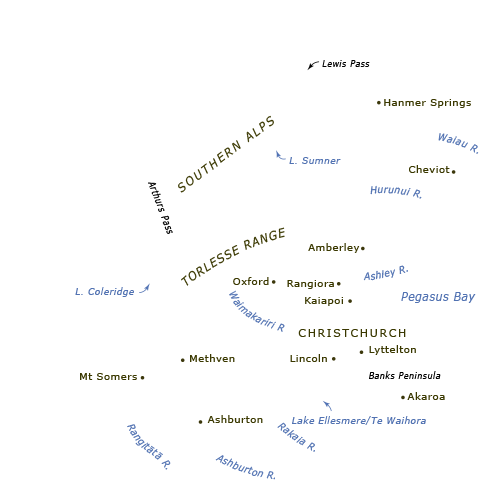
Place names
-
Districts
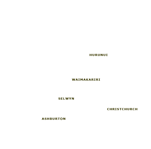
The Canterbury region as discussed in this entry covers northern and mid-Canterbury and stretches north from the Rangitātā River to the Conway River. The Southern Alps form the western boundary and the Pacific coast is the eastern boundary.
Using this item
Te Ara – The Encyclopedia of New Zealand
This item has been provided for private study purposes (such as school projects, family and local history research) and any published reproduction (print or electronic) may infringe copyright law. It is the responsibility of the user of any material to obtain clearance from the copyright holder.