Image
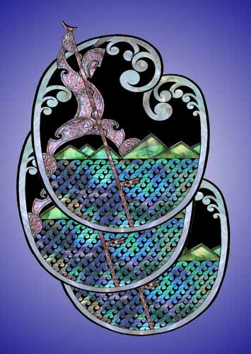
This artwork by Brian Flintoff depicts Rākaihautū digging out the lakes of the South Island with his kō (digging stick). The lakes are known as Ngā Puna Karikari-a-Rākaihautū (the springs dug out by Rākaihautū). The discovery and naming of natural features by an ancestor ensured that their descendants could claim rights to these areas.
Using this item
Private collection
by Brian Flintoff
This item has been provided for private study purposes (such as school projects, family and local history research) and any published reproduction (print or electronic) may infringe copyright law. It is the responsibility of the user of any material to obtain clearance from the copyright holder.