Image
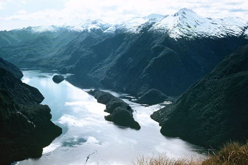
The dramatic topography of Fiordland, in the south-west of the South Island, was shaped by glaciers. Between ice ages, the glaciers melted and the sea rose, flooding the valleys and turning high areas into islands.
Using this item
Reference: 10058686
This item has been provided for private study purposes (such as school projects, family and local history research) and any published reproduction (print or electronic) may infringe copyright law. It is the responsibility of the user of any material to obtain clearance from the copyright holder.