Image
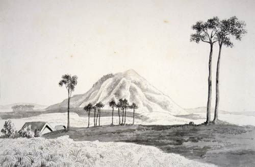
Mt Kakepuku became part of Ngāti Maniapoto’s traditional lands after a series of battles with neighbouring iwi. It is in the northern part of the tribe’s territory, which centres on Te Kūiti. This depiction of the mountain was drawn by Joseph Jenner Merrett some time between 1841 and 1843.
Using this item
Reference: E-216-f-181
by Joseph Jenner Merrett
Permission of the Alexander Turnbull Library, National Library of New Zealand, Te Puna Mātauranga o Aotearoa, must be obtained before any re-use of this image.