Image
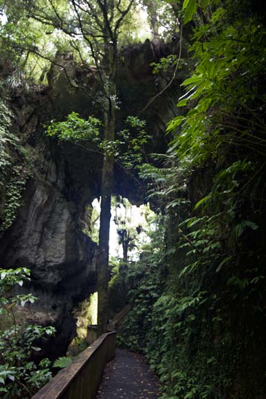
The Mangapōhue Natural Bridge is a fascinating geological feature near Piripiri, west of the Waitomo Caves. The 17-metre-high limestone arch is a remnant of a cave system. The limestone is studded with fossilised oysters. A Department of Conservation track passes under the bridge.
Using this item
by Andy Palmer
This item has been provided for private study purposes (such as school projects, family and local history research) and any published reproduction (print or electronic) may infringe copyright law. It is the responsibility of the user of any material to obtain clearance from the copyright holder.