-
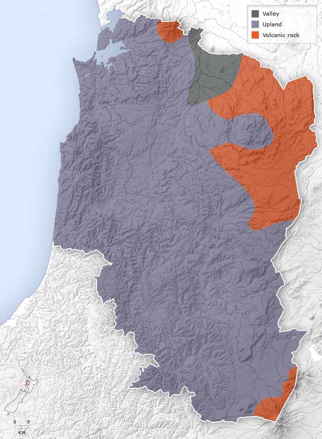
Landforms
-
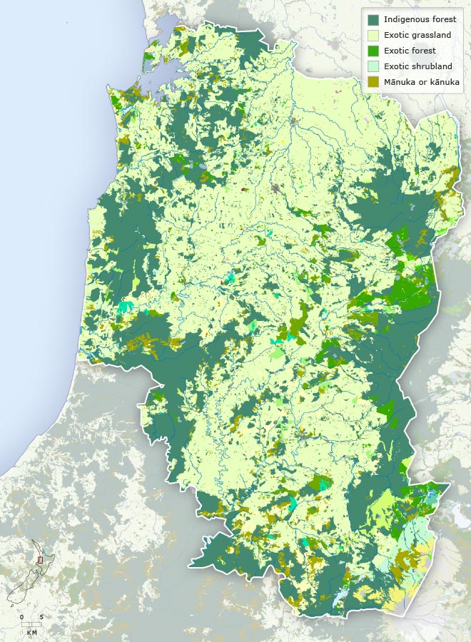
Vegetation
-
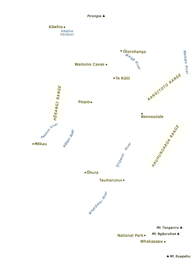
Place names
-
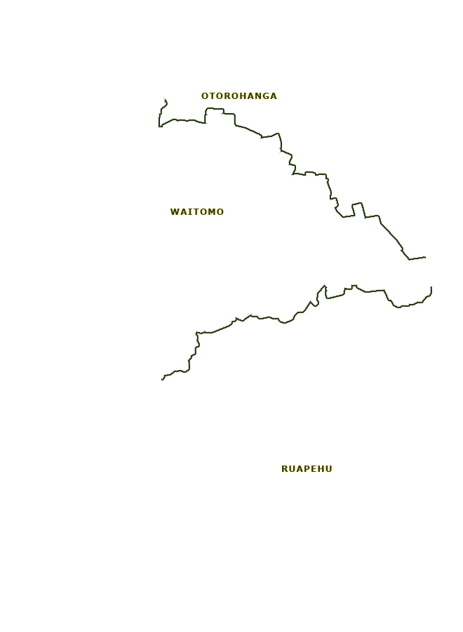
Districts
-
Highways
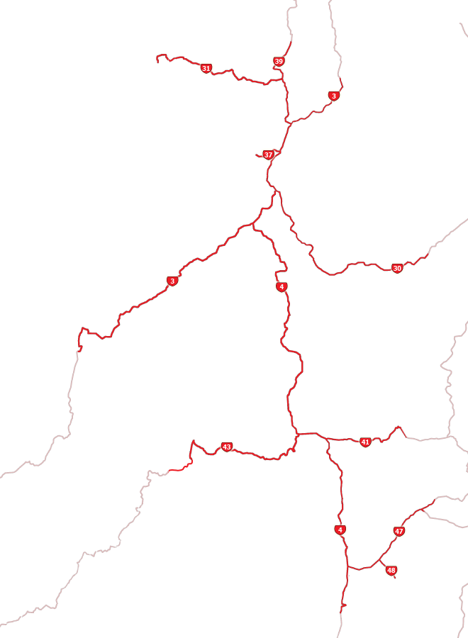
The King Country is located in the North Island's western uplands. This map shows the region's major towns and settlements, district boundaries, highways, rivers, distinctive landforms and vegetation.
Using this item
Te Ara - The Encyclopedia of New Zealand
This item has been provided for private study purposes (such as school projects, family and local history research) and any published reproduction (print or electronic) may infringe copyright law. It is the responsibility of the user of any material to obtain clearance from the copyright holder.
Comments
09 June 2024