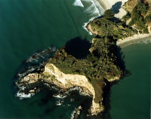
Through the 18th century, Ngāi Tahu advanced down the South Island through a combination of warfare, intermarriage and peaceable occupation. The lines of the older South Island tribes, Waitaha and Ngāti Māmoe, became merged with those of Ngāi Tahu. One of the places where Ngāi Tahu fought against Ngāti Māmoe was Māpoutahi pā, on a peninsula south of Blueskin Bay, off the Otago coast.
Using this item
by Kevin Jones
This item has been provided for private study purposes (such as school projects, family and local history research) and any published reproduction (print or electronic) may infringe copyright law. It is the responsibility of the user of any material to obtain clearance from the copyright holder.