-
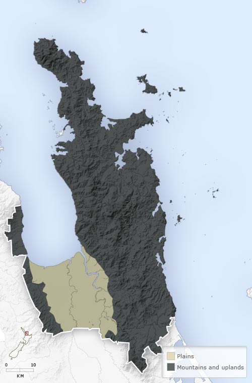
Landforms
-
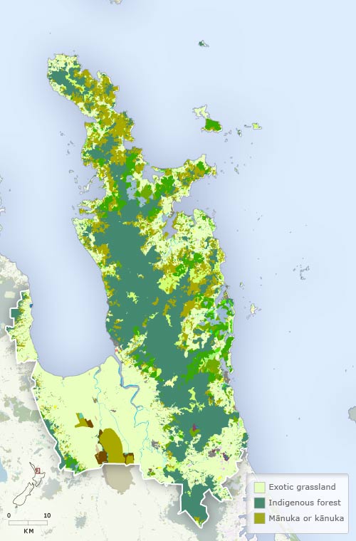
Vegetation
-
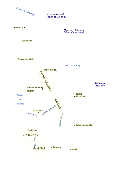
Place names
-
Districts
-
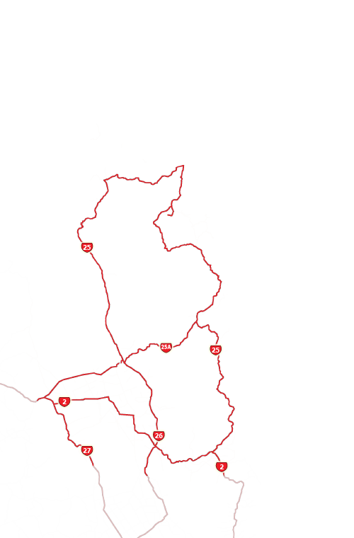
Highways
The vegetation in almost all of the Hauraki–Coromandel region has been transformed by human impact, especially since the mid-1800s. Most of the kauri forest that covered the peninsula had been felled by 1920. On the plains, forests were cleared and swamps drained to create farmland between the 1870s and 1920s.
Using this item
Te Ara - The Encyclopedia of New Zealand
This item has been provided for private study purposes (such as school projects, family and local history research) and any published reproduction (print or electronic) may infringe copyright law. It is the responsibility of the user of any material to obtain clearance from the copyright holder.