-
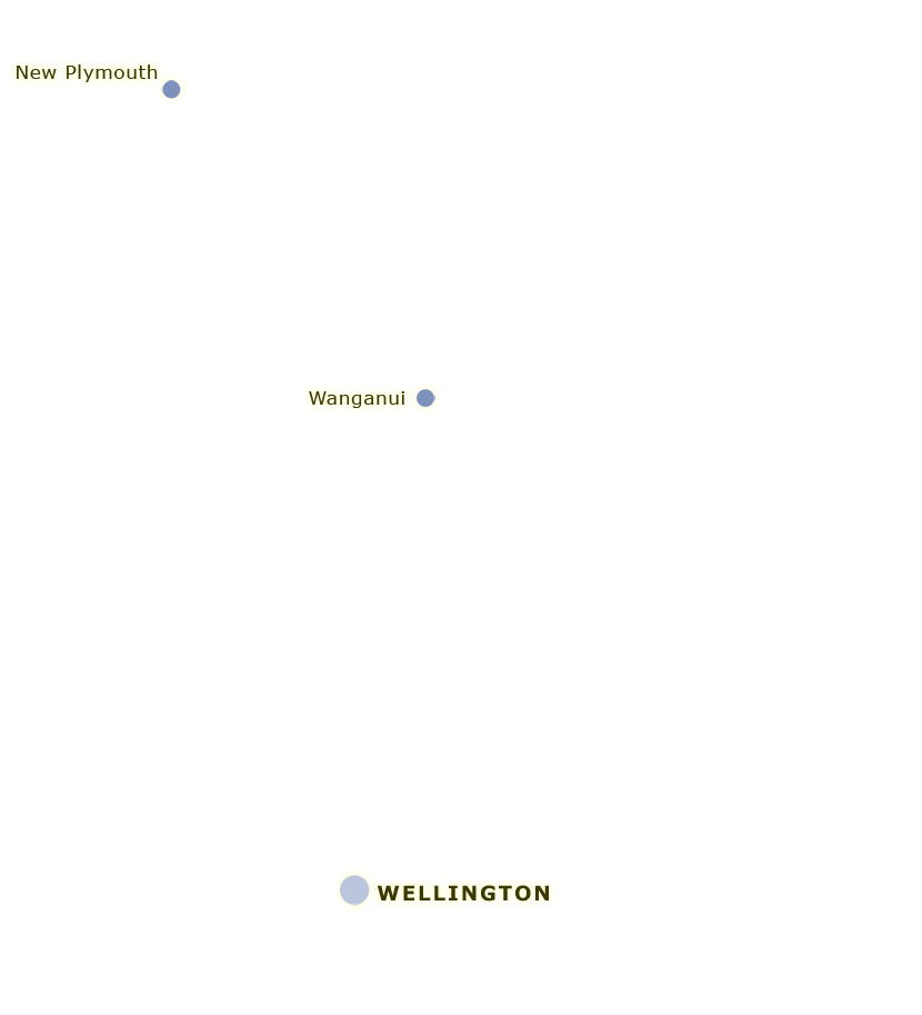
1874
-
1891
-
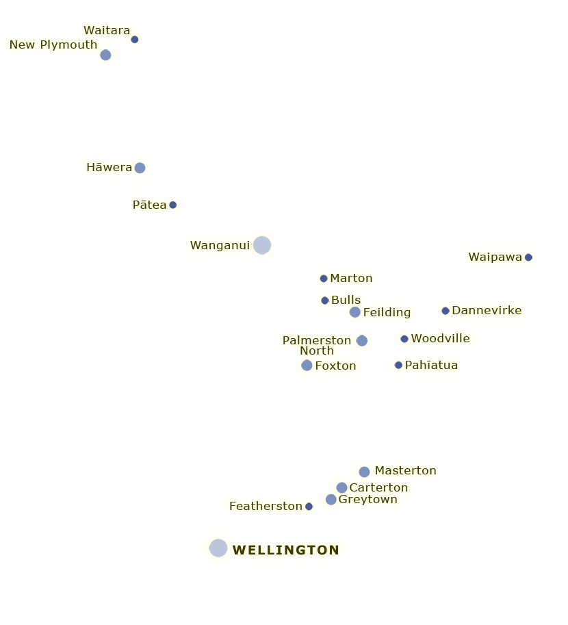
1911

New Zealand towns developed for a variety of reasons – to support farming hinterlands, provide port facilities, or as a base for mining, sawmilling or construction. This map shows the development of lower North Island towns between 1874 and 1911. In 1874 there were only three towns of at least 500 people in the region; by 1911 there were 34. Their rise was largely linked to the growth of farming in their hinterlands. The map also highlights the distribution pattern of towns: most arose along major roads or railway lines and were within a day’s travel time – by horse and cart – of one another.
Te whakamahi i tēnei tūemi
Te Ara - The Encyclopedia of New Zealand
This item has been provided for private study purposes (such as school projects, family and local history research) and any published reproduction (print or electronic) may infringe copyright law. It is the responsibility of the user of any material to obtain clearance from the copyright holder.