Image
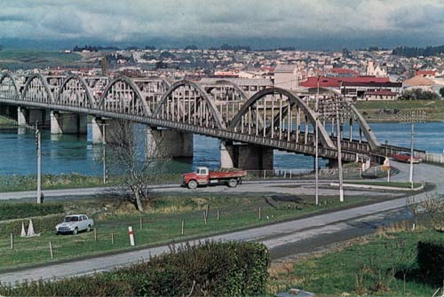
This is Balclutha, the principal town and service centre for the farming district of South Otago, in the 1960s. The town lies on the southern side of the Clutha River, and is reached on State Highway 1 by a six-arched concrete bridge that opened in 1935. Balclutha’s population tripled in the prosperous decades after the Second World War.
Te whakamahi i tēnei tūemi
Reference: PAColl-7756-2-0730
Permission of the Alexander Turnbull Library, National Library of New Zealand, Te Puna Mātauranga o Aotearoa, must be obtained before any re-use of this image.