He kōrero whakarapopoto
Early forecasting
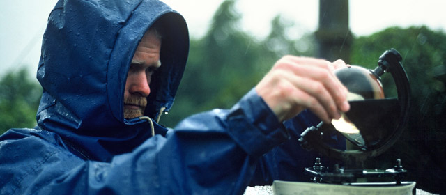
When early Polynesian seafarers journeyed to New Zealand, their success relied on accurately forecasting the weather. During James Cook’s visits to the country in the 1770s, he kept detailed logs of the weather conditions.
A national weather service
A service began in New Zealand in 1861 to compile weather statistics. The first official forecaster began his job in 1874, and from 1882 weather maps were published in the leading newspapers. Weather services are now mostly handled by two government units, MetService and the National Climate Centre.
Collecting information
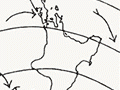
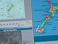
Every day, people and remote sensors record current weather such as rain, temperature, wind speed, air pressure and humidity. This information is used to predict the future weather. Weather balloons, tracked with radar, can record conditions high up in the atmosphere. Satellite images of the weather over New Zealand are sent back every hour.
Types of forecasts
There are several types of forecast in New Zealand:
- Public forecasts: brief predictions of rain, sun and storms for radio, television and newspapers
- Aviation forecasts: airports need information about clouds, temperature, visibility and wind, while pilots need to know what sort of weather they will be flying through.
- Marine forecasts: these concentrate on wind, visibility and wave height. Conditions over the sea can be very different from those on land.
- Warnings: these are issued for heavy rain or snow, and strong gales.
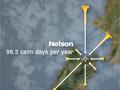
Climate
Records of the weather in New Zealand have been collected over many years. They are used to work out monthly and annual averages, for example, of rainfall and temperature.